

Book
Atlas of the Civil War
A Complete Guide to the Tactics and Terrain of Battle
Stephen G. Hyslop
Disney Publishing Group · Print & ebook · October 20, 2009
Reading lane: Civil War Era
In this one-of-a-kind atlas, scores of archival maps and dozens of newly created maps trace the battles, political turmoil, and great themes of America’s most violent and pivotal clash of arms.
At a Glance
Who It's For
Book Details
- Authors
- Stephen G. Hyslop
- Publisher
- Disney Publishing Group
- Published
- October 20, 2009
- Format
- Print & ebook
- Theme
- Civil War Era · Civil Wars
- Reading lane
- Civil War Era
Affinity
Publisher Categories
Civil War Era
Historical Geography
Atlases & Maps
About This Book
In this one-of-a-kind atlas, scores of archival maps and dozens of newly created maps trace the battles, political turmoil, and great themes of America’s most violent and pivotal clash of arms. From the Antebellum South to Fort Sumter, the assassination of Abraham Lincoln, and the fitful peace of Reconstruction, National Geographic’s Atlas of the Civil War displays eye-opening mapsand a gripping, self-contained storyon every spread. Eighty-five rare period maps, many seen...
Read full description
Similar Books

The Civil War: a Narrative
Shelby Foote, Grover Gardner · Knopf Doubleday Publishing Group
Affinity signal
Civil War Era
Civil Wars

The Civil War: a Narrative - 3 Volume Box Set
Shelby Foote · Knopf Doubleday Publishing Group
Affinity signal
Civil War Era
Civil Wars

Three Roads to Gettysburg
Tim McGrath · Penguin Publishing Group
Affinity signal
Civil War Era
Civil Wars
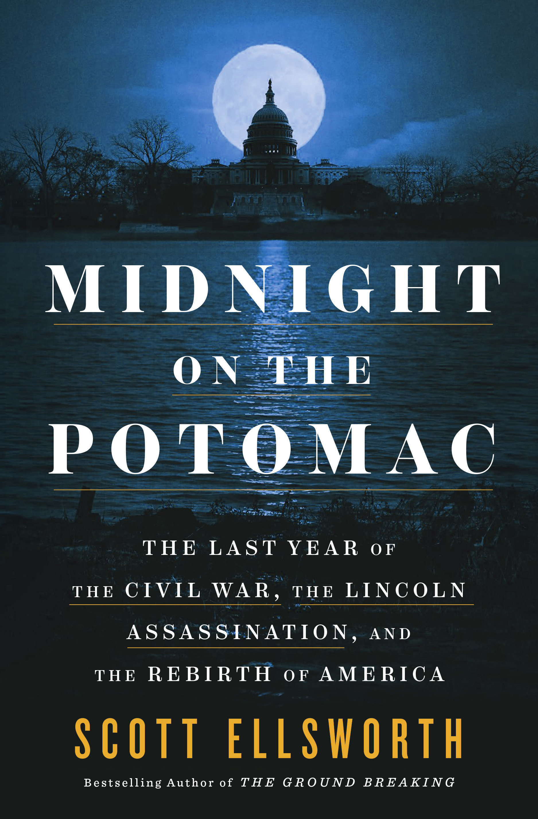
Midnight on the Potomac
Scott Ellsworth · Penguin Publishing Group
Affinity signal
Civil War Era
Civil Wars

Embattled Rebel
James M. McPherson · Penguin Publishing Group
Affinity signal
Civil War Era
Civil Wars

A Fate Worse Than Hell
W. Fitzhugh Brundage · WW Norton
Affinity signal
Civil War Era
Civil Wars

A Day in September
Stephen Budiansky · WW Norton
Affinity signal
Civil War Era
Civil Wars

Don Troiani's Gettysburg
Don Troiani, Tom Huntington · Globe Pequot Publishing
Affinity signal
Military History-Pictorial
Civil Wars